
Sediment source tracing in a Brazilian subtropical catchment using diffuse reflectance: Effect of spectral ranges, pre-processing techniques, and multivariate model
Publicado em
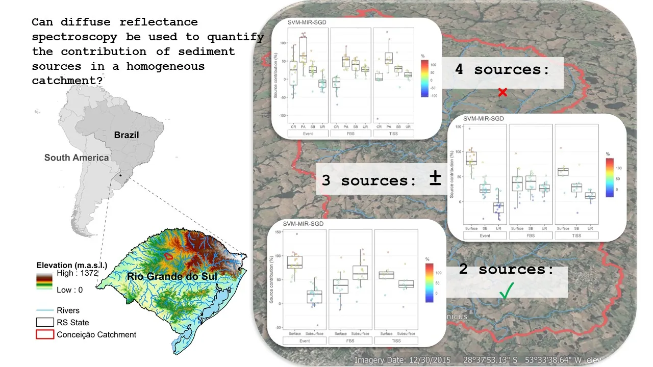
HIGHLIGHTS
SVM outperforms PLSR for sediment source modeling, showing higher R² and lower RMSE.
SGD pre-processing significantly improves SVM models, while PLSR benefits from SNV.
UV-VIS spectra were less effective for source tracing compared to NIR and MIR.
Reducing sediment sources enhances model reliability and decreases uncertainties.
ABSTRACT
Agriculture intensification in Southern Brazil’s subtropical regions combined with the frequent occurrence of erosive rainfall has rendered the area a global water erosion hotspot. In this scenario, understanding and regulating erosion processes at the river catchment scale is critical for mitigating soil and water resource degradation. Traditional methods for tracing sediment sources are expensive and time-consuming and justify the development of alternative approaches. Therefore, in this study, we employed diffuse reflectance spectroscopy analyses in the ultraviolet-visible (UV-VIS), near-infrared (NIR), and mid-infrared (MIR) ranges, combined with multivariate models and spectral pre-processing techniques to estimate sediment source contributions in a homogeneous subtropical catchment (Conceição River, 804 km²). Soil samples (n = 181) were collected to characterize the four potential sediment sources, including: cropland (n = 78), stream bank (n = 36), unpaved road (n = 40) and pasture (n = 27). Moreover, 44 sediment samples were collected, including suspended sediment (n = 8), fine sediment deposited on the riverbed (n = 15), and suspended sediment samples collected in the water column during storm events (n = 21). Vector machine (SVM) model outperformed the others, with better accuracy and reliability. While UV-VIS spectra proved less effective due to soil homogeneity across the catchment, NIR and MIR spectra provided valuable information for discriminating sediment sources. Furthermore, reducing the number of potential sources (from four to three or two) improved model predictions, especially when distinguishing between surface sources (cropland and pasture) and subsurface sources (unpaved roads and stream banks). The study’s findings shed light on the power of efficient and cost-effective alternative methods for assessing sediment sources, which are vital for promoting effective erosion control and sustainable land management in similar regions.
Read articleVeja também
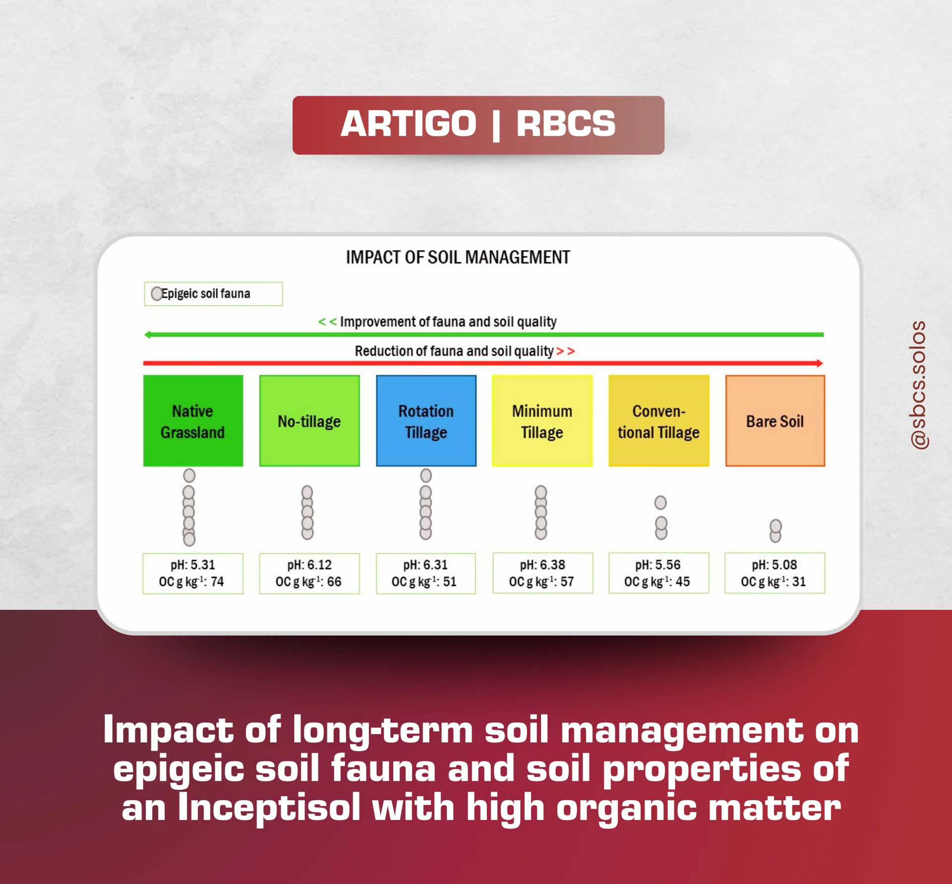
Impact of long-term soil management on epigeic soil fauna and soil properties of an Inceptisol with high organic matter
📘 Novo artigo na Revista Brasileira de Ciência do Solo (RBCS) Impact of long-term soil management on epigeic soil fauna and soil properties of an Inceptisol with high organic matter Autores: Neuro Hilton Wolschick,…
Leia mais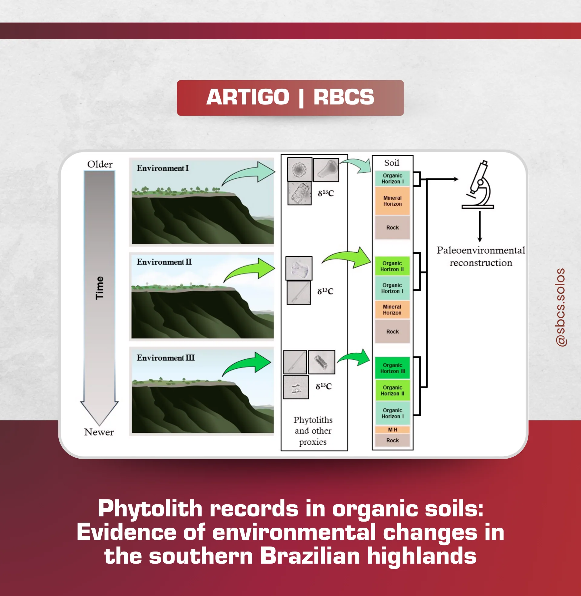
Revista Brasileira de Ciência do Solo (RBCS)
Tem artigo novo na Revista Brasileira de Ciência do Solo (RBCS)! Phytolith records in organic soils: Evidence of environmental changes in the southern Brazilian highlands Autores: João Pedro Comendouros Scott, Carlos…
Leia mais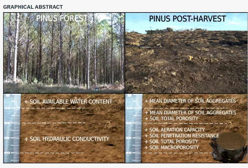
Mechanized harvesting of a Pinus taeda L. forest does not impair the physical properties of a Nitossolo Bruno
HIGHLIGHTS The physical properties of the Nitossolo Bruno showed small changes between the pine forest area and the post-harvest forest area. Mechanized harvesting in the forest area does not compromise the soil water…
Leia mais